Mapping
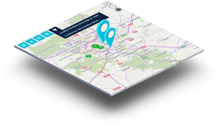
With the mapping extension, position contacts, companies or any other type of element on a map and analyze, exploit and modify information at a glance to increase productivity.
Mapping
With the mapping extension, position contacts, companies or any other type of element on a map and analyze, exploit and modify information at a glance to increase productivity.
15$ per user / per month
Displaying filtered points of interest from a list of records, selecting a drawing of an area to display the information contained in your Eudonet or displaying a street view of an area or district.

Based on geographical coordinates, mapping allows you to display, locate, analyze and modify all the data in your Eudonet database attached to an address, in list mode (multipoint selection or filters to display the desired data) or in file mode (information on the open file). In list mode, a mini sheet displays the selected information on hovering, for a quick analysis.
For example, you can identify the current business around your company to organize a visit tour with the drawing selection, view your donors' living quarters to organize a street marketing operation or display the available premises and their location according to the criteria defined by a company wishing to set up in your territory.
In short, the mapping integrated into Eudonet adapts to your daily needs and uses and makes you more productive in the search, analysis and use of key information !
